Dublin Outlines Three-Part Metro Center Rezoning Framework
Dublin's Metro Center rezoning framework pairs a mixed-use core with employment and neighborhood-office areas. Draft materials don't establish final approval.
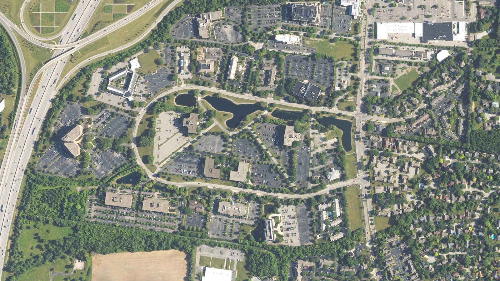
Dublin, Ohio is developing a Metro Center rezoning framework that would divide the office district into mixed-use, highway-employment and neighborhood-office areas. Materials prepared for the September 17 planning commission meeting outline the approach, but don't establish that the city has enacted new zoning.
A district west of Frantz Road
Metro Center occupies approximately 210 acres southeast of the Interstate 270 and U.S. 33 interchange, according to the city's project FAQ. Its general boundaries are Frantz Road to the east, the interstate to the west, the Bridge Street District to the north and Blazer Parkway to the south.
The planning area includes offices, hotels, commercial services, undeveloped property, Smiley Park and Cosgray Run. Those different settings help explain why a districtwide plan doesn't mean the same kind of development on every parcel.
Three zoning areas, not one uniform redevelopment
The September 11 staff memo outlines a proposed Mixed-Use Regional district, MUR-1, with three subdistricts: Mixed-Use, Highway Corridor and Neighborhood Office. The core would accommodate homes alongside businesses and community uses; the highway edge would emphasize employment, while smaller offices and institutional uses would provide a transition near existing neighborhoods.
These zoning divisions aren't interchangeable with the design guidelines' character areas, which include places such as Frantz Road Gateway and Waterway Park. Zoning would address permitted activities, building placement, height and parking locations; design guidance would help shape architecture, landscaping and public spaces. The distinction matters when reading a colorful concept map: a suggested design isn't itself a legal development entitlement.
Parking acreage isn't a construction commitment
WSYX reported September 2 that parking and asphalt cover more than 90 acres, representing about 7,700 parking spaces. Using 90 acres as a floor and 210 acres as the approximate district size, CREN calculates that parking and asphalt account for roughly 43% or more of the area. That describes land cover, not a measured inventory of vacant parcels ready for construction.
The station also interviewed Metro Center worker Michael Berlin, who wanted better connections between walking paths and more everyday services nearby. His comments illustrate one employee's priorities, not a survey of the district's workforce or a finding that redevelopment has broad public support.
The city's presentation for September 17 says existing buildings wouldn't be required to redevelop. It describes provisions for building expansions or improvements, parking plans instead of minimum parking requirements, and encouragement of shared parking. These are elements of the draft approach, not evidence that existing leases or property rights have already changed.
The vision predates this zoning work
Columbus Underground's November 2024 reporting described an earlier vision for mixed-use buildings and central green space, alongside the complication of multiple property owners. Its account concerned planning concepts, not a completed redevelopment. Dublin City Council adopted the revitalization plan on December 9, 2024, according to the city's project history.
Comparing that history with the current memo shows the distinction: the city already has a planning vision; the current work is translating it into design guidance and zoning rules. The memo anticipates incremental changes and a development-review process, rather than a single construction project across the campus.
The next checkpoint is a formal recommendation
The September 17 agenda lists the guidelines and zoning roadmap as a discussion item. As of September 23, the commission's meeting page had no linked minutes or action record for that session, so this account doesn't attribute an outcome or comments to commissioners.
Staff's memo anticipates further commission review this fall, a recommendation, then City Council consideration. The next verifiable checkpoint is a posted recommendation and the accompanying zoning text and map—not a presumed construction start or a guaranteed Council vote date.
Have capital ready for Central Ohio real estate?
Tell us what you want your money doing and we will bring you Columbus opportunities that match. We only work in Central Ohio, and we tell you what does not fit.
Start the conversationThis is educational and is not an offer to sell or a solicitation to buy any security. We never promise returns.